Public & posted land
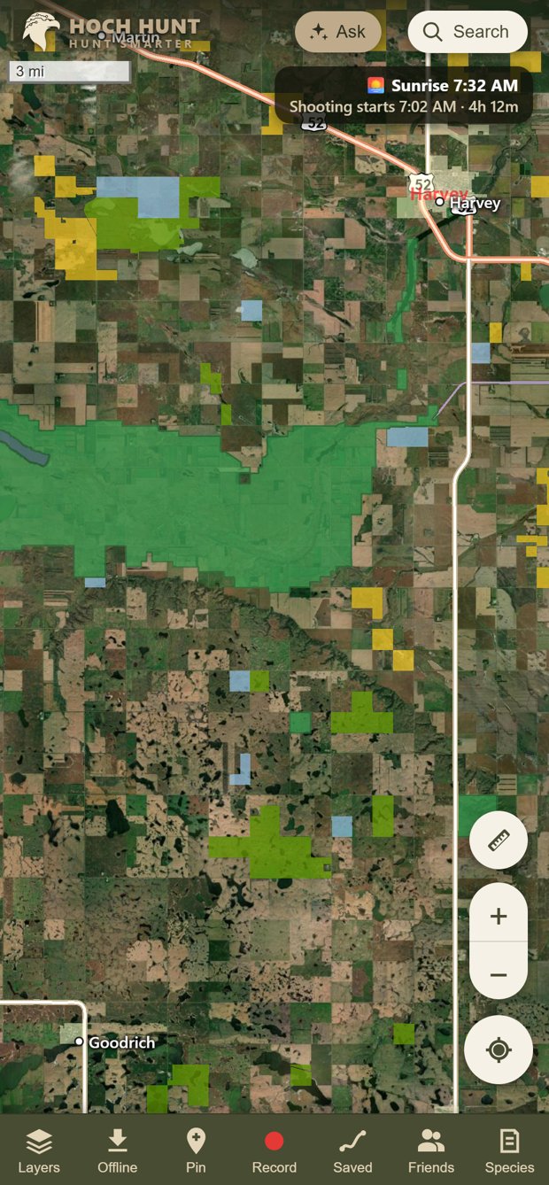
PLOTS, WMAs, WPAs, state and federal land. See who posted private land and how to ask permission, and tap any parcel for the owner.
 HOCH HUNT
AccountTry it free
HOCH HUNT
AccountTry it free
Every PLOTS tract, WMA and hunting unit. Lake depths and fresh local reports. An AI guide that knows North Dakota. All in one app, and it works with no signal.
Works on iPhone, Android and PC. No download needed to try it.
 Promo video coming soonA hawk, a walleye, and the app that ties it all together.
Real questions, real answers from the app: public land for ducks near Bismarck, walleye lakes near Jamestown. It checks the seasons, the land, the lakes and the weather, then drops pins on your map.
Recorded in the app on September 26, 2026. The wait for each answer is sped up. Always confirm land status and regulations with ND Game & Fish.
PLOTS, WMAs, WPAs, state and federal land. See who posted private land and how to ask permission, and tap any parcel for the owner.
Deer, turkey, waterfowl, elk, moose, pronghorn, sheep, crane, furbearer, CWD and closed areas. Tap anywhere to see which units you're in.
Depth contours, boat ramps, species and the latest Game & Fish survey on 432 lakes.
"Walleye reports on Devils Lake this week?" "Duck spots within 30 miles of Bismarck?" It reads the maps, reports, regulations and weather for you.
Guide and forum fishing reports, ND Game & Fish news, and community reports, all tagged to the lakes they mention.
A live countdown to legal shooting time right where you're standing, with optional alerts to start and stop.
Download maps and land data ahead of time, and record tracks with your screen off.
Share pins and live location with your group, post reports and photos, help return lost gear, and earn badges.
Only have two hours after work? Pick what you're after and how much time you've got. It finds open public land or water in range and pins the best spots in order.
See exactly where your scent drifts from your stand or blind, hour by hour, from the live forecast. Approach from the right side every time.
Anonymous check-ins show how busy WMAs, PLOTS and lakes are right now, so you can pick the quiet spot before you drive there.
Solunar feeding times, moon phase and the barometric trend on every lake, rolled into one simple outlook for today.
Track the landowners you've asked, with a ready-to-send request. Log harvests and catches with weather and moon filled in, and learn your own patterns.
Pin holes, down fences, washed-out roads, sand bars and thin ice, or your traps. Get a buzz when you walk up on one, from miles out down to a few feet. Share with everyone, your friends, or just you.
Keep a private photo of your license and tags that works with no signal, and get a heads-up before the seasons you care about open.
Hold the mic like a walkie-talkie. Show him a photo to ID a bird, track or fish. Have him fly you down the Missouri so you can see the sandbars, or minimize him and keep going like a phone call.
The newest satellite pass (days old, not years) with a shallow-water view for sandbars, plus lidar terrain that shows every foot of rise and dip, contours and which way water drains.
Warnings on the map in the National Weather Service's own colors, clouds, lightning and rain, and a buzz if a warning covers your spot or lightning comes within the miles you pick.
Plan the trip with your crew: one shared map, gear lists, chat and split costs. Set "the truck at 7:30" or "the east ridge before sunset" and everyone gets their own leave-by time.
Out of gas at the ramp, dead battery, stuck? Ask members nearby from your check-in. Sportsmen helping sportsmen (for emergencies, call 911).
Your rifle, scope and load, live weather, and a rail-mount mode that reads angle and cant from your phone. Tells you exactly what to dial, even on a custom yardage turret.
Aerial photos and old maps of any spot back to the early 1900s. Hit play and watch the river, the sloughs and the section lines change.
Skipper is a co-pilot for the boat: depth range highlights, speed alerts and catch logging. Teddy mode is your guide to Medora and Theodore Roosevelt National Park.
Live aircraft overhead with their routes, and a public safety layer from the state registry. Free weather and safety layers for everyone.
Hoch Hunt is about more than maps. It's about bringing North Dakota hunters and anglers together, especially the ones without a lease, a hunting camp, or a crew to call.
Tap "I'm hunting here" at a WMA, PLOTS tract or lake. Check "Room for one more" and others nearby see there's a spot open. Check-ins are anonymous and expire on their own.
Pheasants hunt better with more guys walking. Post "Walking PLOTS for roosters Saturday, have two dogs, need a couple blockers," or "Open seat in the boat for walleye Sunday." Replies come straight to you, privately.
Is the ramp open? Any birds on this slough? Ask the people who hunt and fish that spot, and read fresh notes on mud, snow, water over the road, down fences and sand bars. Answers come to you privately.
A step-by-step first-hunt guide, from licenses and hunter ed to finding public land, plus quick starts for ducks, pheasants, deer and walleye.
Your pins, waypoints, tracks, downloaded maps, permission log and journal are saved on your own device, not on our servers. Go completely offline and everything still works.
The only things that leave your phone are community posts you choose to make, your live location if you turn it on for friends you pick, and check-ins, which are anonymous and just show a count at public spots.
Hunt with a group or hunt alone. Use the community, or never touch it. Delete your account and everything in it anytime.
Community, check-ins and find-a-buddy are part of the full app. Hoch Hunt doesn't screen users; meeting anyone you connect with is at your own risk. See Terms of Use, section 6a. Meet at a public spot first, tell someone your plan, and agree on safe zones of fire.
Willing to let hunters on? List your ground in Hoch Hunt: open to the public, or by permission with your phone number or a place to stop by. Draw the boundary or pick your parcels, and set your own rules.
Pause or remove your listing anytime. North Dakota law (N.D.C.C. ch. 53-08) generally limits a landowner's liability when people hunt their land for free; ask your attorney or insurer if you have questions.
"Call first or stop at the yard. Leave gates as found. No vehicles past the approach."
Drag the slider. On the left is a normal map. On the right is what you see with Hoch Hunt: PLOTS walk-in land in gold and public land in green.
Try the free version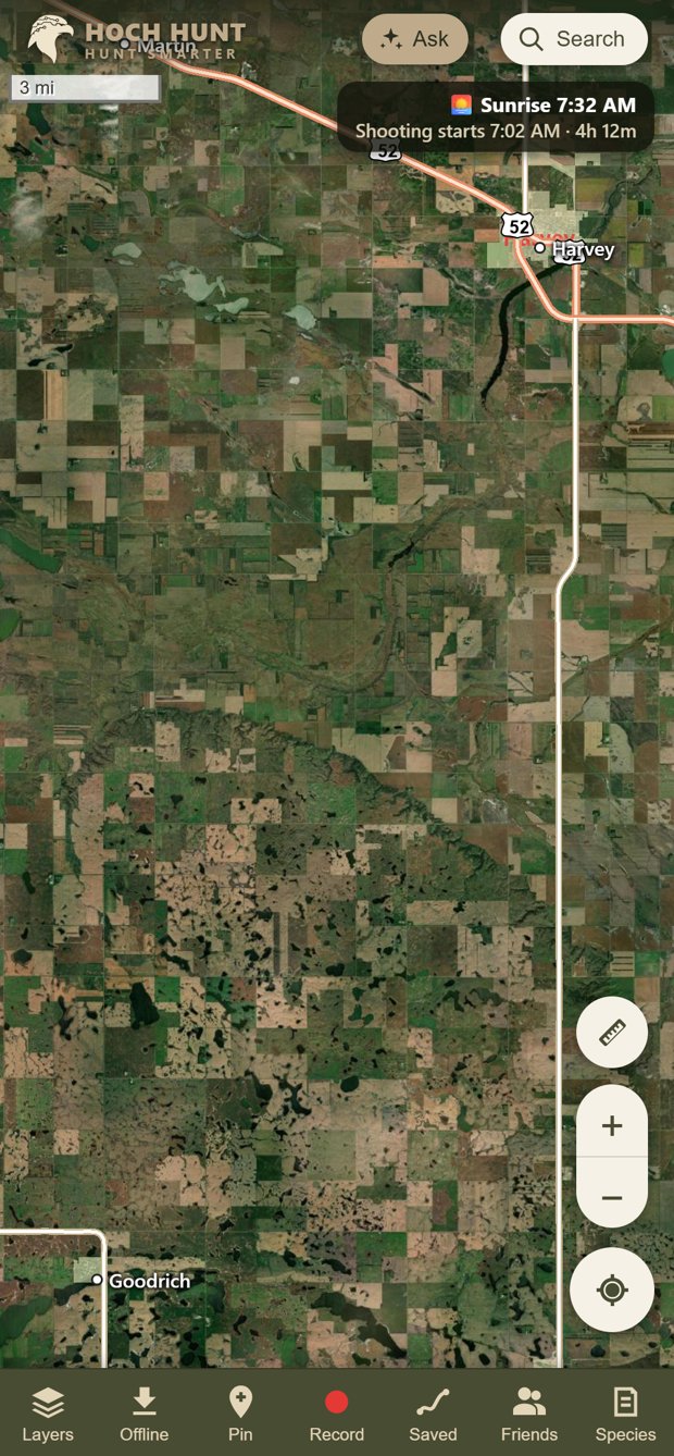
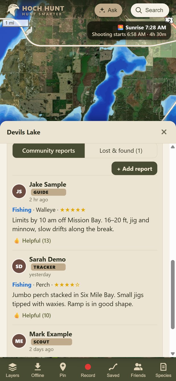
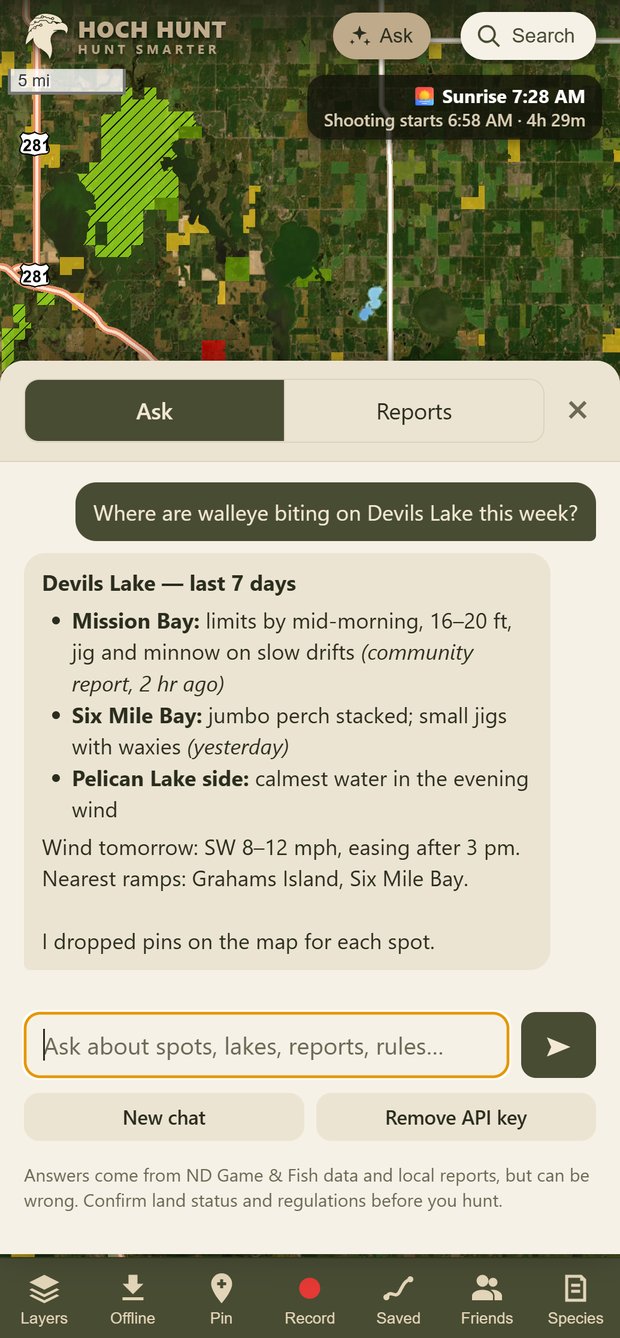
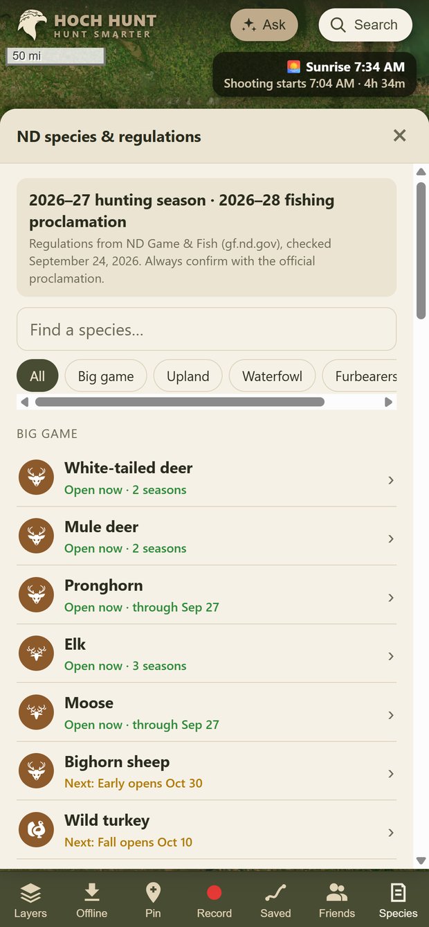
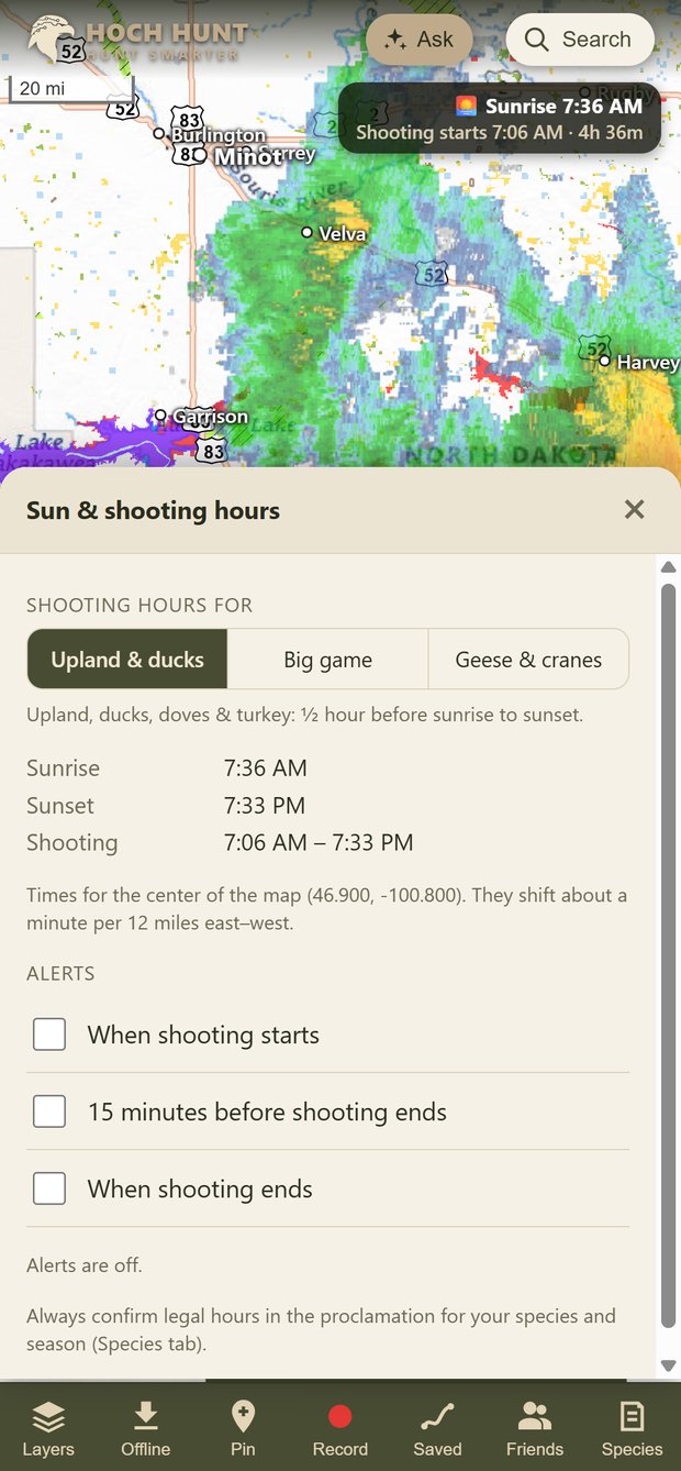
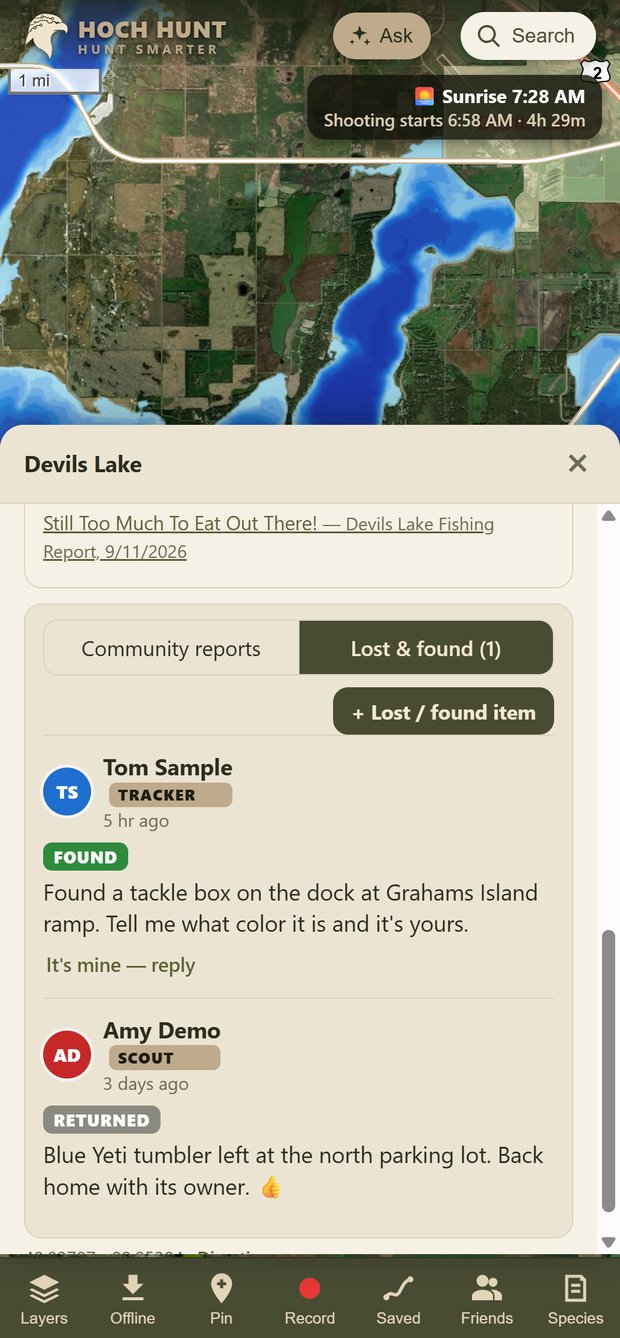
Screens show sample community posts from demo accounts.
Web version
Android, iPhone* & PC
Pricing announced at launch. *iPhone users get the full version in the browser first; the App Store version follows.
See your dogs on the same map as your land, units and pins. Live tracking, alerts when a dog locks up on point, and a trail of where they've been.
Fly your own ground and upload the imagery as a private, high-resolution layer. Fresh food plots and water, down to the inch, and it works offline.
Planned features. Timing and details may change.
Hoch Hunt is in private preview with North Dakota hunters and anglers now. Get launch news and early access.
Request early accessFounding Members. Early testers get a Founding Member badge in the app and first access to launch perks.
Or try the free web version right now.
Hoch Hunt is built by one North Dakota hunter, for hunters and anglers without private land or much free time. If you'd like to help it grow, every bit goes into data, servers and new features.
Public sources: the North Dakota Game and Fish Department, the ND GIS Hub, USGS, USDA and the National Weather Service. Always confirm land status and regulations with Game and Fish before you hunt.
Yes. Download an area in the app before you go, and maps, land boundaries and your pins all work offline. Tracks record even with the screen off.
Yes, in Safari. Open the free version and choose Share → Add to Home Screen to use it like an app. The full iPhone app is on the way.
Yes, on purpose. Every layer, unit and report is North Dakota, so it's deeper and more local than the nationwide apps.
No. A check-in only records the spot and when it expires, never who you are. Others just see a count, and whether someone has room for one more. If you want to link up, post in Community and replies come to you privately.
Create a free account in the app, then open Tools › Landowners › List my land. Draw your boundary or pick your parcels, choose open to the public or by permission, add a phone number or stop-by address and your rules. We review every listing, usually by giving you a call, before it goes live. Open 40+ acres and your account is free.
Yes. Documents you add are stored under your account where only you can open them, and they stay viewable with no signal once opened. A photo may not count as proof of license, so carry your license as required.
Ask in plain English. Hawk looks up public land, lakes, reports, regulations and the forecast, then answers and drops pins on your map. It's included with your subscription: sign in and it just works, with no keys or setup. It can be wrong, so double-check rules before you go.